MAP Engineering Inc.

Local Expertise, Engineered to Endure

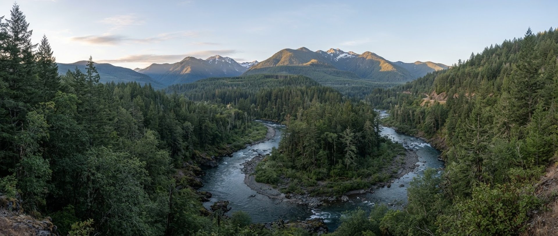
Serving Douglas County and the Pacific Northwest with site-specific engineering and regulatory navigation.

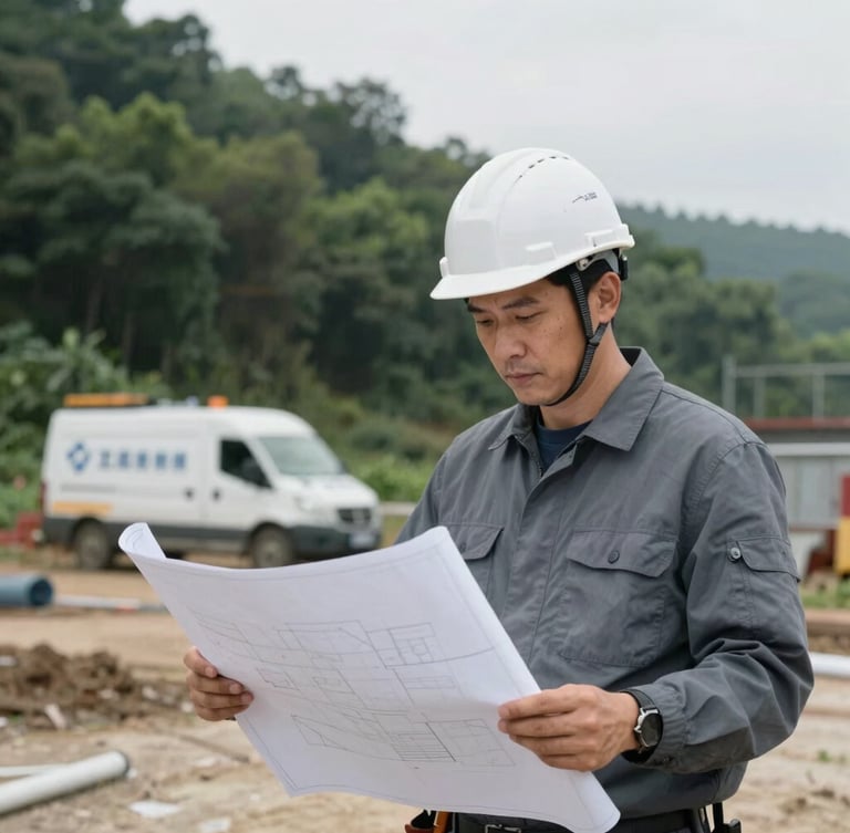
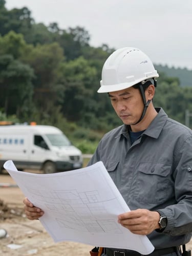
Portrait-oriented photo of an engineer in a hardhat reviewing blueprints on a field site, branded engineering vehicle visible in the background, overcast natural daylight, cool slate and forest green tones, sharp focus, 35mm, documentary engineering photography.
Our Foundation

Deep Roots in Douglas County

For over two decades, MAP Engineering Inc. has been the trusted partner for civil and structural projects across Southern Oregon. We understand the unique geological and regulatory landscape of the Pacific Northwest.

Our commitment extends beyond blueprints, focusing on solutions that stand the test of time and terrain, ensuring local compliance and project success.
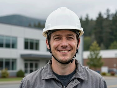
Headshot of a confident male engineer in a hardhat, smiling, against a blurred backdrop of the Roseburg office exterior, overcast natural daylight, cool slate and forest green tones, sharp focus, 35mm, documentary engineering photography.
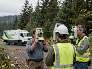
Medium shot of two surveyors with total station equipment in a forested Oregon landscape, branded engineering vehicle in background, overcast natural daylight, cool slate and forest green tones, sharp focus, 35mm, documentary engineering photography.
Close-up of hands on a blueprint with a compass and ruler, a computer screen with structural modeling software in the blurred background, overcast natural daylight, cool slate and forest green tones, sharp focus, 35mm, documentary engineering photography.
Our People

Engineered by Experts

Our team brings boots-on-the-ground experience to every project, ensuring precision from initial survey to final stamped plans.

Leadership

Field Surveyors

Structural Designers

Guiding projects with unparalleled local insight and regulatory navigation expertise.

Precise site data collection for accurate planning and design, critical for Douglas County terrain.

Crafting resilient designs for seismic compliance and the unique demands of regional construction.

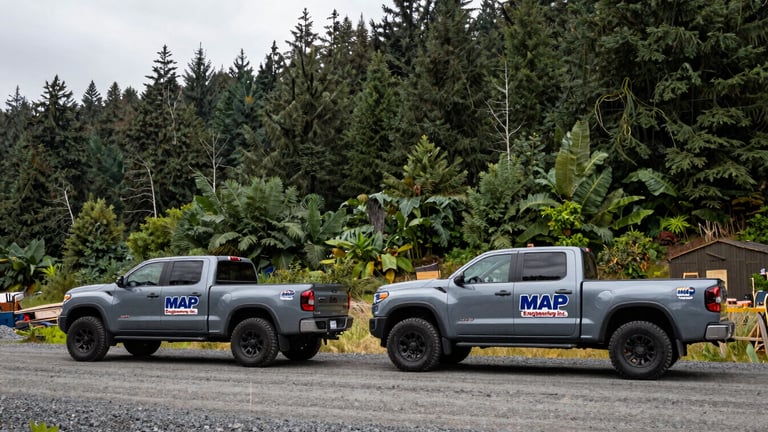
Wide shot of two branded MAP Engineering Inc. pickup trucks parked on a gravel road at a project site, lush Oregon forest in background, overcast natural daylight, cool slate and forest green tones, sharp focus, 35mm, documentary engineering photography.
— On the Road

Our dedicated fleet ensures rapid response and thorough on-site investigations across Douglas County and beyond, bringing engineering to your project.

Partner with Local Engineering Experts

Ready to move your project forward? Connect with our team for site-specific engineering solutions tailored to the Pacific Northwest.